




Dreibündenstein Panorama Trail
Historic triple-border stone with alpine panoramas
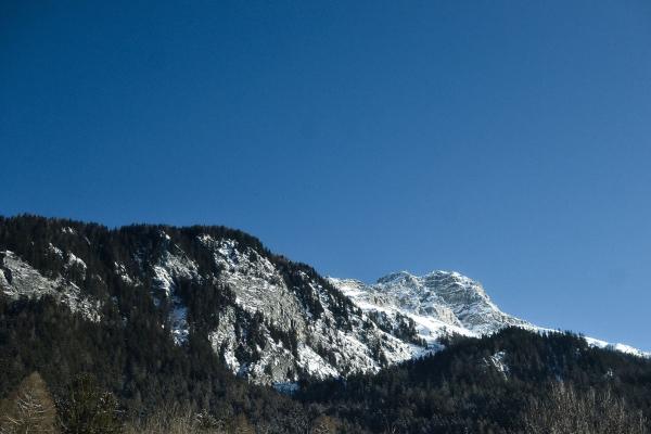
The Dreibündenstein Panorama Trail is a spectacular alpine hike that connects Chur with the village of Feldis, offering some of the best mountain views in the Graubünden region. Starting on the Brambrüesch plateau—easily reached by cableway from Chur’s city center—the trail climbs about 700 meters to the Dreibündenstein, a historic boundary stone at 2,160 meters marking the meeting point of the three ancient Rhaetian states. The stone monument, erected in 1915, is a symbol of Graubünden’s unique history and displays the coats of arms of the former alliances.
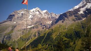
The 12-kilometer route is well-marked (local route 739) and leads hikers past panoramic tables at Furggabüel, through alpine meadows rich with wildflowers, and down forested slopes to Lake Leg Palus. Along the way, the trail opens up to sweeping vistas of the surrounding peaks—including the Tectonic Arena Sardona UNESCO site, Ringelspitz, Tödi, and the Glarus Alps. The descent ends in Feldis, where a gondola takes visitors down to Rhäzüns, with easy connections back to Chur by train or bus.
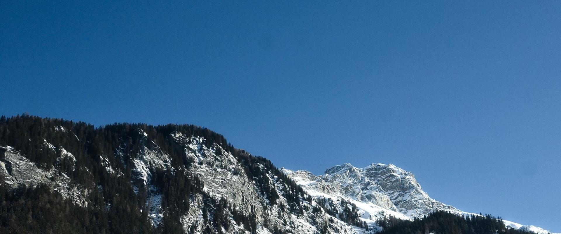
The trail is suitable for experienced hikers in summer and transforms into a snowshoe route in winter. A round-trip ticket covers all cableways and return transport, making logistics straightforward. With its blend of natural beauty, historical significance, and accessible adventure, the Dreibündenstein Panorama Trail is a highlight for anyone exploring the Chur region.
Categories
More photos coming soon
Nearby Attractions
Other places to visit in Chur


Quick Facts
Best Time to Visit
May to September offers mild weather, lively old town, and ideal conditions for hiking, sightseeing, and exploring Chur’s alpine surroundings.